
Point Clouds
Clean, registered point clouds in common formats—ready for scan‑to‑BIM modeling and clash detection.
- Interior and exterior coverage
- Common formats (e.g., E57, RCP/RCS)
- Alignment with project coordinates
Reality Capture
We use advanced 3D laser scanning and LiDAR to capture complete, accurate digital replicas of your facilities—so you can coordinate from your desk, not just the job site.
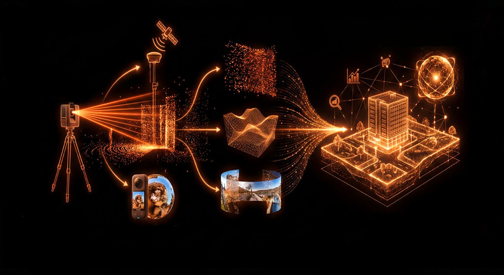
We tailor deliverables to your software stack, whether you’re coordinating in Revit, Navisworks, or other tools.
Clean, registered point clouds in common formats—ready for scan‑to‑BIM modeling and clash detection.
Plans, sections, and elevations derived from scans, giving teams both geometric and contextual detail.
BIM‑ready models built from scan data, with the right level of detail for your project phase.
360° panoramas and digital twin experiences that allow stakeholders to explore spaces remotely.
Applications
Document existing systems and structures before you design, avoiding field surprises and costly rework.
Align models with reality and catch conflicts early using point clouds and scan‑to‑BIM workflows.
Compare as‑built conditions to design intent at critical milestones to confirm installation quality.
Field approach
We review access, safety, and schedules ahead of time so scanning fits your operations and site rules.
Our team captures the site using efficient routes, ensuring comprehensive coverage and consistent density.
Scans are registered, checked for completeness, and aligned to your coordinate system before delivery.
We deliver files and walk your team through formats, best practices, and how to integrate them into your tools.
Ready to capture?
Tell us about the facility, access constraints, and the outputs you need. We’ll respond quickly with scope and pricing.